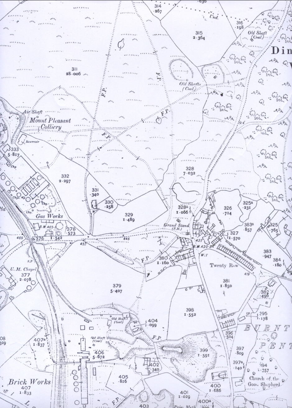
Ordnance Survey map of Burnrwood and Pentre Area"
Burntwood, Buckley
1912
Flintshire Sheet XIV 2
Edition of 1912
Surveyed in 1869 - 70
Revised in 1909
Scale 1 - 2500 being 25.344 inches to a Statute Mile
or 208.33 Feet to One Inch
Altitudes are given in Feet above the assumed Mean Level of the Sea at Liverpool which is 0.650 of a foot below the general mean level of the Sea.
Altitudes indicated thus (B.M.+ 54.7) refer to Bench marks on Buildings, Walls, etc., those marked thus (+52) to surface levels.
All rights of reproduction reserved.
*******************
Lloyd's Hills is a row of houses which used to have at its road end the pub, the Hare and Hounds. A butcher's shop weas attached to Butcher's Row. Twenty Row had one of its houses knocked down but still retianed its name. Between Spotted Row and Twenty Row were ash pits (toilets).
Author: Ordnance Survey
Tags
Year = 1912
Document = Map
Landscape = Cultivated
Extra = 1910s
Copyright © 2015 The Buckley Society
