
Ordnance Survey map of Buckley area: Fig.2 of 'When did Buckley become a Town?' by Neville Dunn "
Buckley
1870
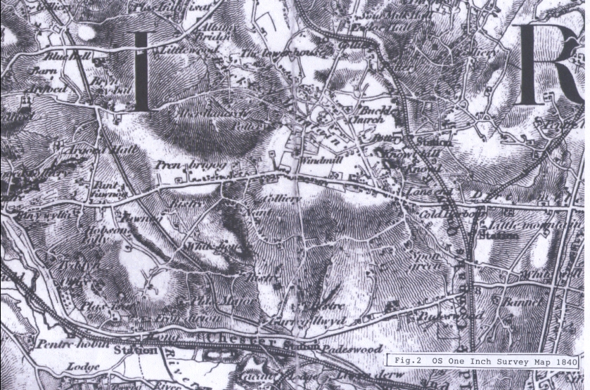
Fig.2. Up-dated Copy of the Ordnance Survey's first national survey at a scale of 1 inch to 1 mile dated 1840. This edition shows the railway which was built in 1862.
see 96.23 for the article Fig 1. and 96.25 and 26 for Fig.3 and Fig.4
NB. The map shows the Connah's Quay railway, which wasn't built until to 1860s.
Author: Dunn, Neville
Tags
Year = 1870
Document = Map
Landscape = Cultivated
Extra = Pre 1900
Copyright © 2015 The Buckley Society