
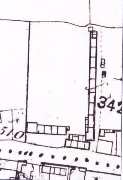
Enlargement of Ordnance Survey Map Fig. 9: How Did "The Square", Buckley Get its Name? by Neville Dunn"
Square, Mold Road, Buckley
1870
see 96.32 for main entry and article and 96.33, 96.34, 96.35, 96.36, 23.27, 23.29, 23.30, 23.31
An enlargement of the set of cottages named as "The Square" on the 1870 Ordnance Survey Map.
Author: Ordnance Survey
Tags
Year = 1870
Building = Domestic
Document = Map
Landscape = Urban
Extra = Pre 1900
Copyright © 2015 The Buckley Society