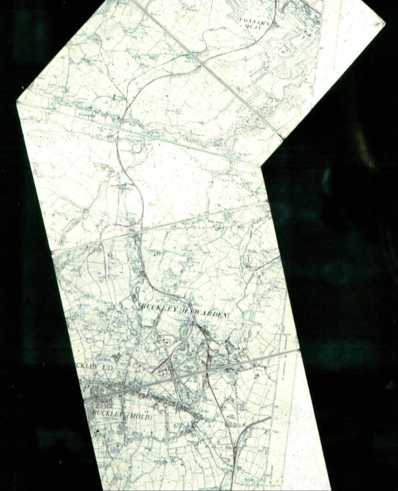
Ordnance Survey map of the route of the Buckley Railway"
Buckley Railway
1912
This map was used in the exhibition of James Bentley's, "Buckley's Industrial Heritage", which was in the library for the Millennium year and which was compiled especially for it. See 17.8 for the poster accompanying the exhibition and 1.119 for the first of the 45 pictures, where the information on the exhibition is noted.
Mr Bentley and I spend quite a few sessions locating the subjects of the pictures on the map. Today's map of Buckley is completely different and it was with some difficulty we were able to find the old sites. The whole route of the railway is shown down to the docks at Connah's Quay. Unfortunately, the detail cannot be seen in this image but the line of the railway can be seen reasonably clearly.
Author: Shone, Carol
Tags
Year = 1912
Document = Map
Landscape = Industrial
Transport = Rail
Work = Transport
Extra = 1910s
Copyright © 2015 The Buckley Society
