Coronation Festivities Souvenir Programme p.7"

June 1953
The whole of the CORONATION FESTIVITIES SOUVENIR PROGRAMME has been added - see 21.3 - 21.40
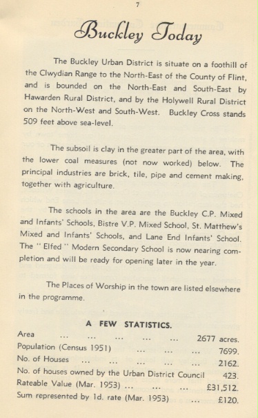
BUCKLEY TODAY
The Buckley Urban District is situate on a foothill of the Clwydian Range to the North-East of the County of Flint, and is bounded on the North-East and South-East by Hawarden Rural Distirct, and by Holywell Rural District on the North-West and South-West. Buckley Cross stand 509 feet above sea-level.
The subsoil is clay in the greater part of the area, with the lower coal measures (not now worked) below. The principal industries are brick, tile, pipe and cement making, together with agriculture.
The schools in the area are the Buckley C.P. Mixed and Infants' Schools, and Lane End Infant's School. The "Elfed" Modern Secondary School is now nearing completion and will be ready for opening later this year.
The Places of Worship in the town are listed elsewhere in the programme.
A FEW STATISTICS
Area --------------------------------------------------2677 acres
Population (Census 1951) ----------------------7699
Number of houses ----------------------------------2162
Number of houses owned by the U.D.C.--------- 423
Rateable Value (Mar. 1953) ----------------------£31,512
Sum represented by 1d. rate (Mar. 1953) --------£120
Author: Buckley Urban District Council
Tags
Year = 1953
Month = June
Event = Historic
Extra = 1950s
Copyright © 2015 The Buckley Society