
An Industrial and Pottery Walk round Buckley - Number 20"
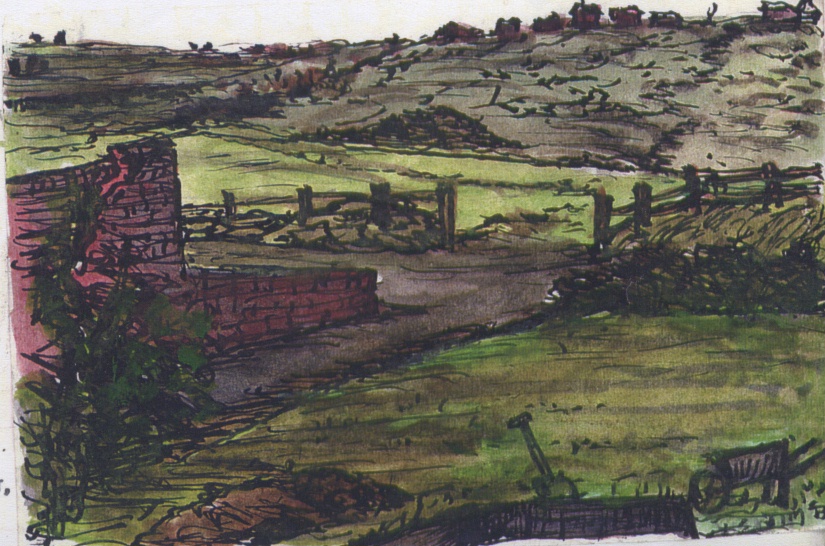
Brookhill, Buckley
1967
see entry 1.239
AN INDUSTRIAL AND POTTERY WALK ROUND BUCKLEY - NUMBER 20
Pause for a few moments in order to take in the extensive view. North lies the Dee Estuary. Deeside industrial sites can be identified. Pargate and Neston lie on the opposite side of the river. Ellesmere Port, Runcorn Bridge, Stanlow oil refineries and Liverpool are often visible. East along Liverpool Road are Farmstile, Ewloe Hall, and Cross Trees (traditionally an ancient site of the gallows) and Pickow Farm. Smithy Lane and its smithy with a shallow valley extending through Ewloe to Ewloe Castle can be traced.
Backwards, along the path we have just taken, was the Pinfold and also a district known as the Willow. Perhaps this name denotes an area of these trees, or quite possibly is a reminder of the ancient time when this township was the abode of the "Wallae" ie. "the strangers" or The Welsh. An Old English name is "Waelesch" or "native settlement" as opposed to the surrounding Norman settlements.
Author: Bentley, James
Tags
Year = 1967
Landscape = Industrial
Work = Heavy Industry
Extra = Visual Arts
Copyright © 2015 The Buckley Society